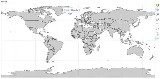
I found this post on Geopandas and bokeh extract xs and ys from data
What I need is basically the same thing but for the map of the whole world (extract XS and ys from GeoPandas and convert into bokeh readable format). I am struggling with the fact the world data has both polygons and multi polygons.
If anyone can help, that would be much appreciated. Thanks!
