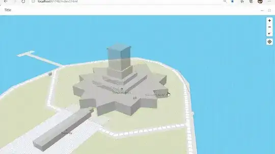
By default, Mapbox markers are set to ground altitude. Is there some way to elevate their position? It is to represent some drones position, elevated over the map, corresponding to their respective altitudes.
Thanks!
By default, Mapbox markers are set to ground altitude. Is there some way to elevate their position? It is to represent some drones position, elevated over the map, corresponding to their respective altitudes.
Thanks!
I made while ago a tooltip on altitude using CSS2dRenderer. You can see the issue here at mapbox GitHub with the explanation.

If what you’re looking is to represent spatially a drone, this maybe of your interest too, threebox is a plug-in for mapbox to allow 3D objects (also labels or markers) representation. Just FYI, I’m maintaining this OSS project and I’m personally using it for drones scenarios among other digital twins.