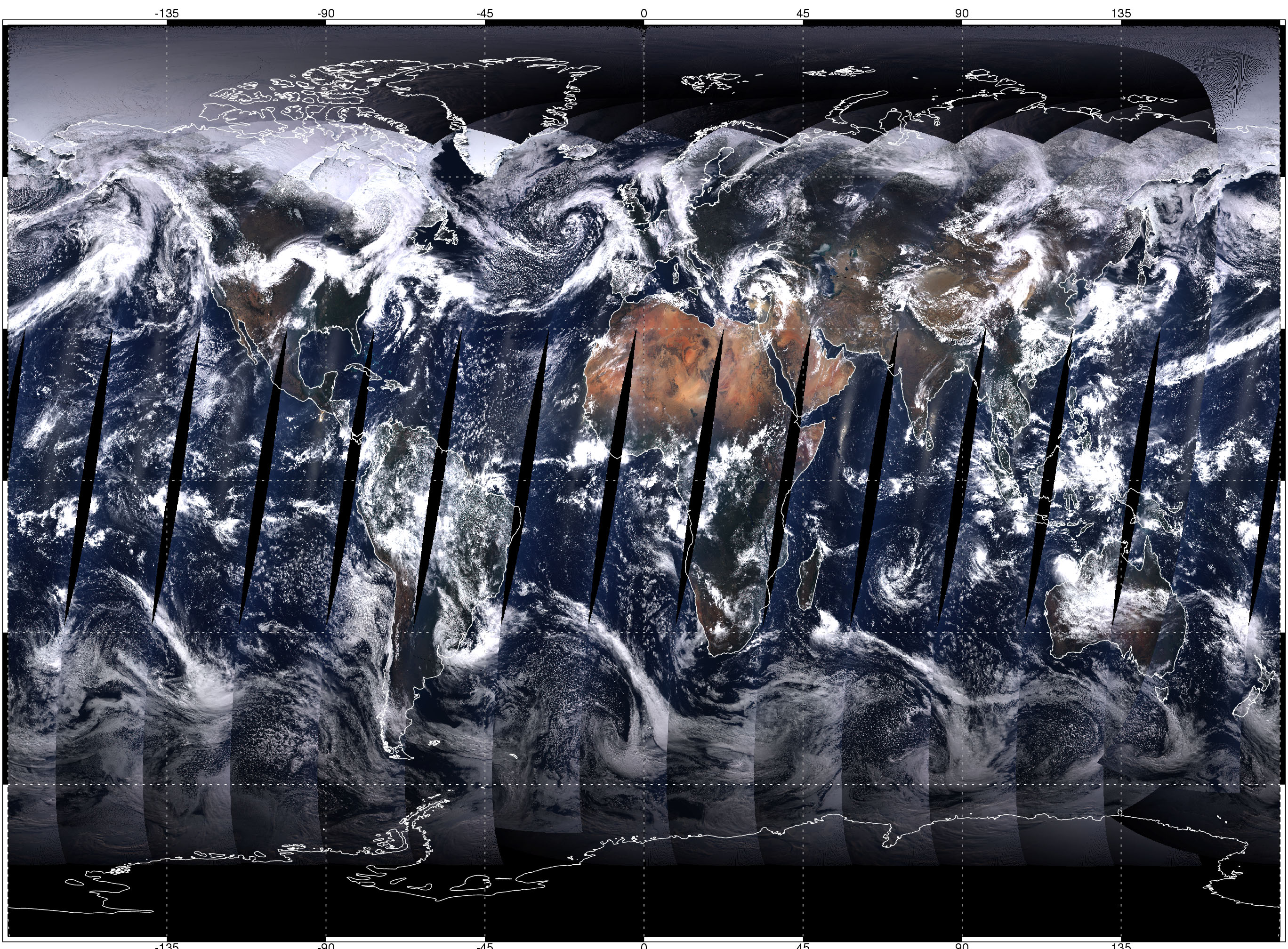
I am trying to run a time series analysis for a Lake in Africa. Since my area of interest is at the equator it is affected by gaps every few days where the sensor has not covered the full area (see Figure below). An example is given in the code below for the 2nd October 2015, where only the edge of the lake is included in the MODIS path. If i include this image in my time series then the average across the AOI for that day is incorrect. So, I am looking for a way to filter the imageCollection to exclude dates when the full Area of Interest was not covered.
//Import image
var image = ee.Image('MOD09GA/MOD09GA_005_2015_10_02');
//Area of interest
var AOI = /* color: #d63000 */ee.Geometry.Polygon(
    [[[35.48583984375, 2.1967272417616712],
      [36.97998046875, 2.1967272417616712],
      [37.1337890625, 4.631179340411012],
      [35.3759765625, 4.653079918274051]]]);
// True Colour Composite
 var visParams = {bands: ['sur_refl_b01', 'sur_refl_b04', 'sur_refl_b03']};
//Add to map
Map.addLayer(image, visParams, '2ndOct2015');
Image of MODIS daily path with gaps at equator: https://eoimages.gsfc.nasa.gov/images/imagerecords/0/687/world_2000_110_rgb143_lrg.jpg
Thank you!