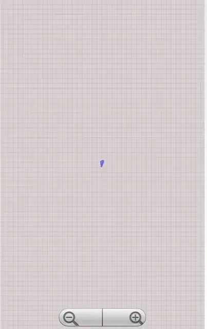
I followed the example here: How to set screen zoom by geopoints?
But my problem is that my route is very small in the mapview. It should end near the borders.
This is how it looks with the code below:
private void centerMap(ArrayList<GeoPoint> waypoints) {
    GeoPoint[] geoPoints = new GeoPoint[waypoints.size()];
    for(int i = 0; i<waypoints.size(); i++) {
        geoPoints[i] = waypoints.get(i);
    }

    int minLat = Integer.MAX_VALUE;
    int maxLat = Integer.MIN_VALUE;
    int minLon = Integer.MAX_VALUE;
    int maxLon = Integer.MIN_VALUE;

    //for (Point point : twoPoints) {
    for(GeoPoint point: geoPoints){
        int lat = (int) (point.getLatitude() * 1E6);
        int lon = (int) (point.getLongitude() * 1E6);

        maxLat = Math.max(lat, maxLat);
        minLat = Math.min(lat, minLat);
        maxLon = Math.max(lon, maxLon);
        minLon = Math.min(lon, minLon);
    }

    mapView.getController().zoomToSpan(Math.abs(maxLat - minLat), Math.abs(maxLon - minLon));
    mapView.getController().setCenter(new GeoPoint((maxLat + minLat) / 2, (maxLon + minLon) / 2));
}
