1

I am running into the following error when I am loading my shape files through the DashDB console:

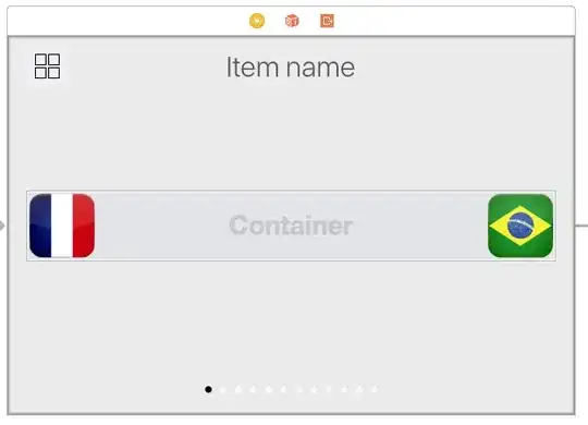
Error when using "Load Geospatial data through console"

My shape files are the following:

Shape Files

Would anyone have experience working with DashDB and ran into a similar problem?

UPDATE:

I downloaded a separate dataset with the following files, and I still running into the same error:

Files in zipped folder

Please find the following sample files https://www.dropbox.com/s/bkrac971g9uc02x/deng.zip?dl=0
Chris Snow
  • 23,813
  • 35
  • 144
  • 309
ShaunK
  • 1,181
  • 5
  • 22
  • 41

1 Answers1

1

I brought the Shapefile into QGIS easily, so I knew the format was OK. I unzipped the Shapefile, changed the file names to lower-case and re-zipped it up. Then I was able to get further in the dashDB upload UI. I got to a message saying the SRS was unknown. I then used QGIS to convert the SRS (spatial reference system) into a known one -- EPSG:4269, NAD83, and I was then able to upload it into dashDB. Here's the version of your file that works:

https://dl.dropboxusercontent.com/u/8196680/dc.zip

Raj
  • 544
  • 2
  • 10
  • Oh wow thanks!...what SRS were the files in? and how would you find that out without using QGIS? – ShaunK Jun 14 '16 at 01:56
  • I opened the .prj file in your original (it's just a simple text file). It contains this: `PROJCS["SVY21",GEOGCS["SVY21[WGS84]",DATUM["D_WGS_19...` Googling for `SVY21` got me to this page: http://www.spatialreference.org/ref/epsg/svy21-singapore-tm/ So it's a Singapore SRS. – Raj Jun 14 '16 at 16:08
  • Thanks for the prompt update. So in this case, SVY21 is not a known SRID format in DashDB? If that is the case, would you happen to know what sort of SRID formats that DashDB is able to store? – ShaunK Jun 15 '16 at 01:57
  • Good question. This documentation makes it sound like you can add your own but we clearly didn't find that in this case: https://www.ibm.com/support/knowledgecenter/SS6NHC/com.ibm.swg.im.dashdb.doc/learn_how/loaddata_gsdata.html But if you have to use an included one, in my instance I see a table called `ST_COORDINATE_SYSTEMS` in the schema `ST_INFORMTN_SCHEMA` – Raj Jun 15 '16 at 02:06
  • Hmmm interesting -- let me look at the table in a bit. I did wish that dashDB would allow easier integration with a GIS engine such as QGIS or ArcGIS. – ShaunK Jun 15 '16 at 03:13