I have a dataset consisting of latitude-longitude pairs associated with some Z value (e.g. data regarding degree of plant vegetation coverage).
I'd like to perform some analyses on the spatial distribution of this data.
To do so, it will be necessary to bin proximal data points.
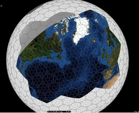
I would like to do this with a Discrete Global Grid such as an Icosahedron Snyder Equal Area (ISEA) grid, or the grid produced by DGGRID.
The key is that the latitude-longitude values of the data can be convertable into unique cell ids, that the latitude-longitude of the cell's center be determinable, the size of the cells be variable (for analysis at different spatial scales), and that the cells be of equal area to a close approximation.
An image depicting how this might look:
Is there anything in R which does this?
